

Switching
Switching from GEOlayers: describe the video to the AI, then fine-tune it
Switching map animation tools means moving your data and habits. Maptake can’t open a GEOlayers project, but boundaries and routes come over as GeoJSON, GPX or KML. With the AI agent you describe the video; it plans it, picks a look, places routes and borders and sets the camera shots, and you fine-tune any layer on the timeline.
Watch how “Palm Jumeirah, grown from the sea” was built
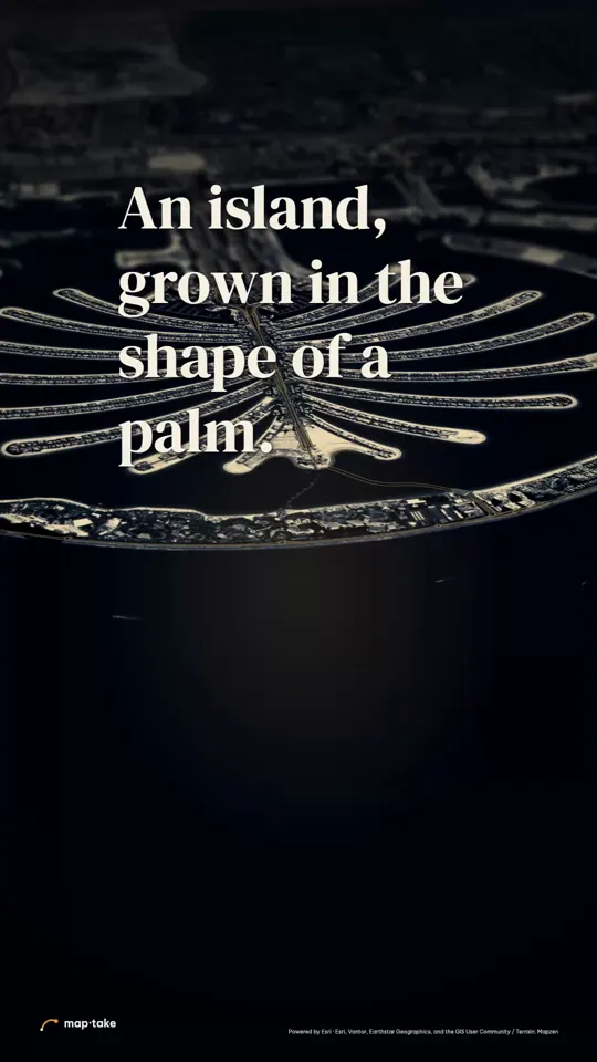
How do I make a map animation with AI after switching?
Bring your data and describe the video. The agent plans a new version and builds it on the timeline, and you fine-tune it with the concepts below.
This is the request this example was planned from:
“Make an elegant 22 second vertical video about Palm Jumeirah in Dubai, United Arab Emirates: an island built in the sea from June 2001, families living on it by 2007, a 5.4 km monorail from the Gateway Towers to the Atlantis hotel since 2009 (Wikipedia).”
It is not a rebuild of a GEOlayers project. It shows how facts and a source go into a request: the plan kept the dates, the distance and the credit to Wikipedia.
The agent works in this order, the same as in the app’s chat:
- Plan. It writes the story, the feeling and the camera shots. Here: quiet admiration, ending on the whole palm lit gold at once.
- Places and data. It finds Palm Jumeirah, the Atlantis hotel and the Gateway Towers. The monorail line is drawn along the road up the trunk, because the map data had no rail line there, so it shows where the monorail runs, not its exact track.
- Look. It picks one design system: gold light inside a deep-navy sea.
- Scenes, one by one. It builds each scene on the timeline: the island, the line, the labels and the camera shots.
- Review. It checks frames of the result against the plan and corrects what does not match.
- Done. You get an ordinary project. This one has 6 camera shots, 7 labels, 1 line and 1 area.
Then you edit by hand:
- Retime a camera shot or change its easing.
- Retype a label, or swap the line for your own GPX or KML file.
- Change the look with the basemap and label settings.
This example was planned by one AI model and built by others with the editor’s own tools, not by the agent inside the app. The in-app agent works with the same tools. Watch it with its plan and camera score.
What is each GEOlayers concept called in Maptake?
Almost every idea has a counterpart. The names differ, and a few things work differently. The first column uses general terms for the idea, not GEOlayers’ own wording.
Maptake names checked against the editor on 8 November 2026.
| The idea | In Maptake | Difference |
|---|---|---|
| Map composition or map layer | A project with timelines. The map is the Basemap layer. | One project can hold several timelines. |
| Map style | Basemap: Presets, Custom or Satellite. A Map overlay layer changes the style mid-video. | Satellite comes from one source (Esri) and exports on Pro. |
| Features from map data (countries, regions, cities) | Search for a place, then add its Boundary as a Feature layer. | Built-in boundaries are today’s borders. |
| Data import | “Feature” in the Add dock, then “Import a file”: GeoJSON, GPX, KML (TCX also). CSV and TSV import as data tables joined to boundaries. | No KMZ or shapefile import yet. |
| Label and marker templates | A Label layer with a Template, and Card layers. | Rebuild each template once, then reuse it. |
| Routes with trim | A Route layer with “Trim start” and “Trim end”, and a moving icon. | The icon turns along the line. |
| Follow or anchor to a layer | “Follow a layer” with “Along the line”. | There is no After Effects-style parenting. |
| Camera keyframes | A Camera layer made of Camera shots, each with an easing curve. | You work in shots, not per-property keyframes. |
| 3D terrain | The “3D terrain” slider in the World layer. | Exports on Pro. |
| Globe | “Projection” set to “Globe (when zoomed out)”. | Mercator and globe are the only projections. |
| 3D buildings | The “3D buildings” toggle on the Basemap. | Shows from zoom 14. |
| Masks and merge paths for territory | “Cut shapes” on a Feature layer. | Half-plane, circle or polygon, keyframed, with hard, jagged or soft edges. |
| Glow and shadow | Per-shape glow and shadow, and the Effects layer. | |
| Design presets | The new-project wizard and saved clips. | |
| Render | “Export video”: One video, CapCut pack or After Effects pack. | One video is MP4 or WebM. |
How do I bring my data over?
- Export the data from your GIS tool or wherever it came from, as GeoJSON, KML or GPX. For KMZ or shapefiles, convert to GeoJSON first, for example with QGIS or mapshaper.
- Import it in Maptake with “Feature”, then “Import a file”, in the Add dock. Tables go in as CSV or TSV (up to 3 MB).
- Style it with layers: a Feature layer for areas, a Route layer for lines, a Label layer for text.
- Bring in finished renders if you need them. PNG, MP4 and other images and video import as layers.
Can Maptake rebuild a video I already know?
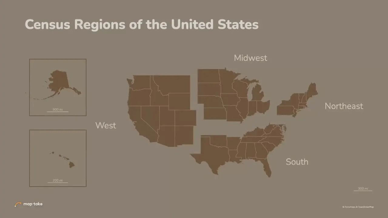
Yes. Five popular After Effects map tutorials were rebuilt by hand in the Maptake editor, with no After Effects and no plugin. Each opens as an editable copy.
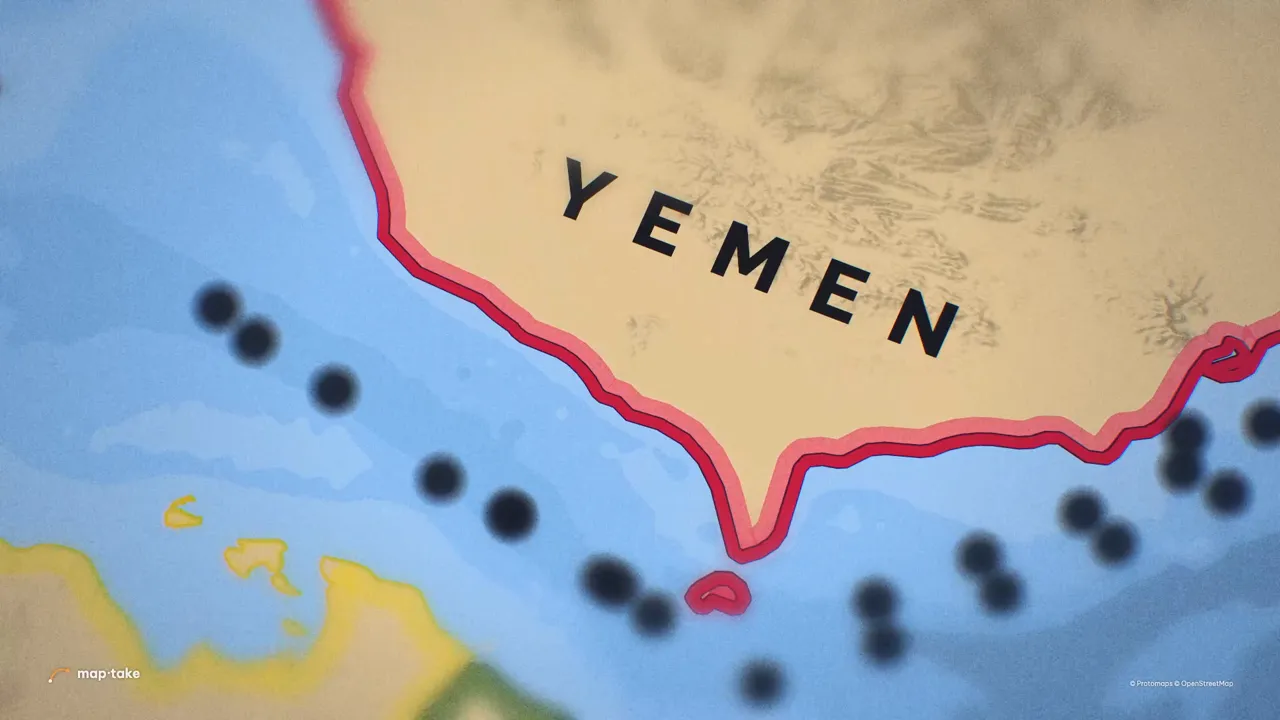
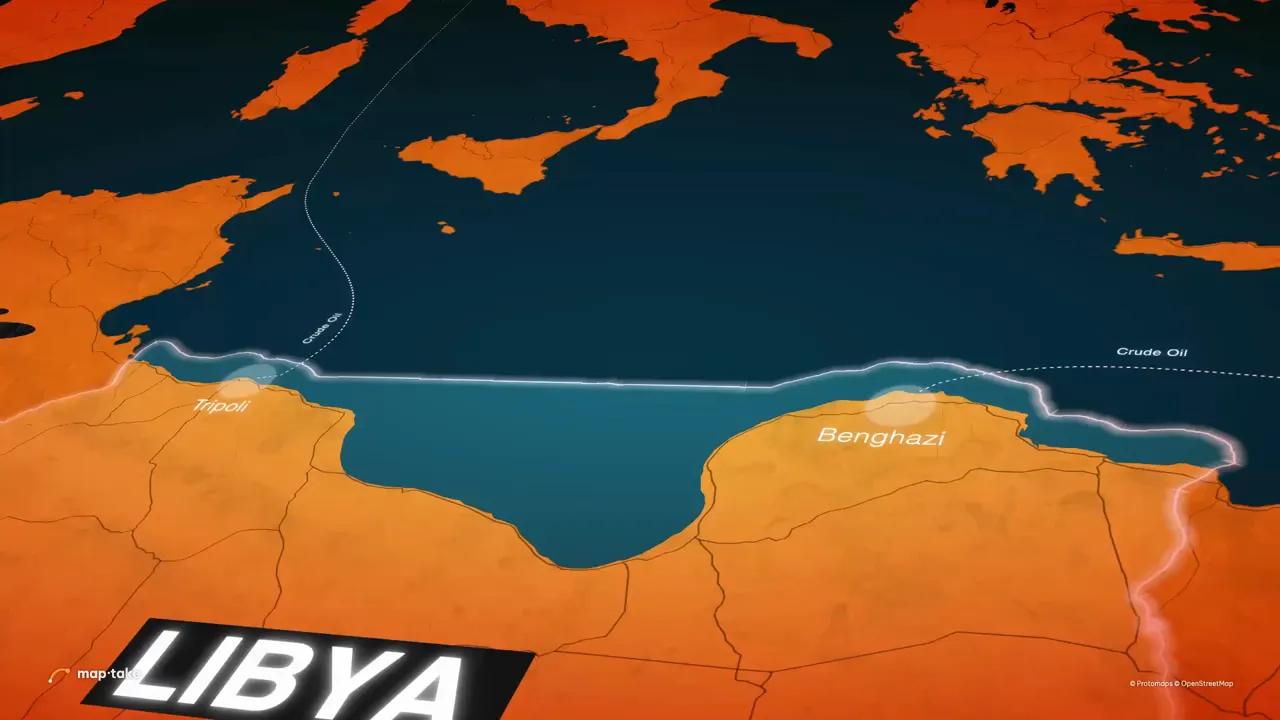
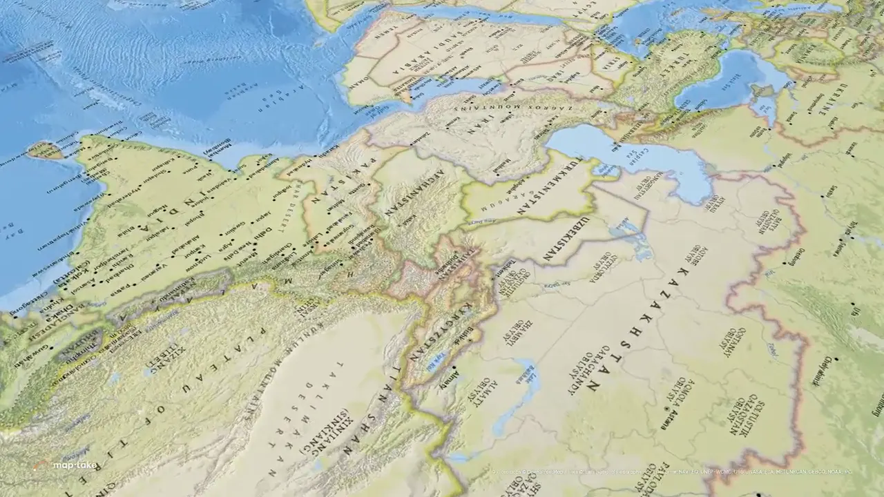
What does Maptake not do yet?
- No KMZ or shapefile import. Convert to GeoJSON first.
- Mercator and globe are the only projections.
- No import of MapLibre or GEOlayers style files.
- The After Effects pack gives a rendered map and transparent label layers, not native vector shape layers.
- One satellite source.
If one of these is a blocker for your work, the comparison page says where GEOlayers is the better fit.
Can I still finish in After Effects?
Yes. On Pro, the After Effects pack exports each scene’s map as a video or a PNG sequence, the labels as a transparent PNG sequence, and a script that builds the compositions. You need your own After Effects licence to open them.
Questions people ask
- Can I import my GEOlayers or After Effects project?
- No. Maptake cannot read GEOlayers projects or After Effects compositions. Your data carries over as GeoJSON, GPX, KML or CSV, and the look is rebuilt with Maptake layers.
- Can the AI agent rebuild my GEOlayers video?
- It cannot read a GEOlayers project, so it cannot copy one. Describe the video you want, give it your data and the look you are after, and the agent plans a new version, places the places, borders and routes and sets the camera shots. Compare it with your original and fix the differences by hand.
- Do my label templates come over?
- No. Rebuild each one as a Label template in Maptake, then reuse it across the project.
- Can I keep using After Effects?
- Yes. The After Effects pack on Pro exports each scene’s map as a video or PNG sequence, the labels as a transparent PNG sequence, and a script that builds the compositions.
- How do I write a good request?
- Name the places, the length and the frame (9:16 or 16:9). Say the feeling you want and what the viewer should remember, and include any facts and sources the video must carry. The request quoted above gives dates, a distance and a source, so the plan could use them.
- How long does it take to learn?
- The table above is the whole list of concepts. The agent can plan a first version from a description, and you edit it by hand on the timeline, so you can learn the editor on a project that already exists.
Rebuild one scene
Open the editor free, describe one scene to the agent or import a GeoJSON or GPX file, and set one camera shot. The free plan needs no card.
Related
Map data © OpenStreetMap contributors, Natural Earth. Tiles © Protomaps. Satellite imagery: Esri.
GEOlayers and After Effects are trademarks of their respective owners. Maptake is not affiliated with or endorsed by them.