Explainer
Physical map camera move over Eurasia: a documentary-style map animation
A documentary-style camera move over a tilted physical map of Eurasia, rebuilt in Maptake from a popular After Effects tutorial.
Opens an editable copy in your own account, on any plan. Change the places, the words and the timing; the look stays.
What is in the project
3 camera shots · 2 images. Every one of them is a layer on the timeline that you can select, retime or restyle.
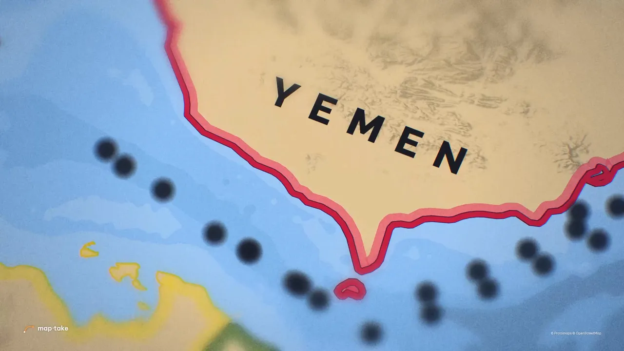
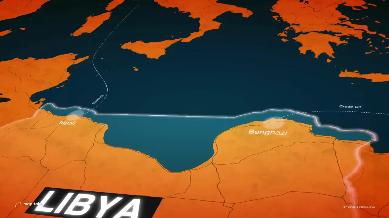
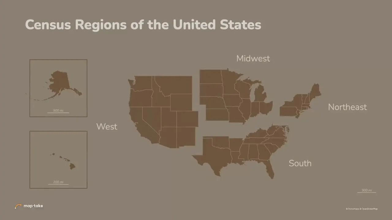
What is on screen: A tilted physical map of Eurasia as the camera turns and zooms toward Pakistan and Afghanistan.
Make your own version
Open the project, then change it by hand on the timeline or ask the agent in the chat. Ideas to start from, with a sentence you can give the agent:
-
The same move toward another region.
“Keep the physical map and the tilted camera. Turn and zoom toward the Andes instead.”
-
An opening shot for a history video.
“Same look. Start over Europe and push toward Constantinople for an opening shot.”
The free plan opens and edits this project and exports up to 1280 px, videos up to 10 seconds, with a watermark, for personal use. Satellite, 3D terrain and audio in exports, 4K and commercial use come with Pro. See plans.
How it was made
Built by hand in the Maptake editor, without After Effects or a plugin, as a rebuild of a popular After Effects map tutorial on YouTube. Every layer, camera key and label is editable.
Map data © OpenStreetMap contributors, Natural Earth. Tiles © Protomaps. Satellite imagery: Esri.